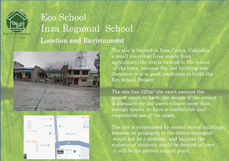
Today I work on my location Board, which I didn’t like at all because the pictures were not very good.
To start I did the same process as before I added a new file, A4 landscape, with a white background and started to add the things that I already had use.
Such as the black ground picture and the text box for the tittle and subtitle I then added the pictures by taking them from google maps as a screenshot and downloading it to the board.
This is the final result:


Comments
Post a Comment